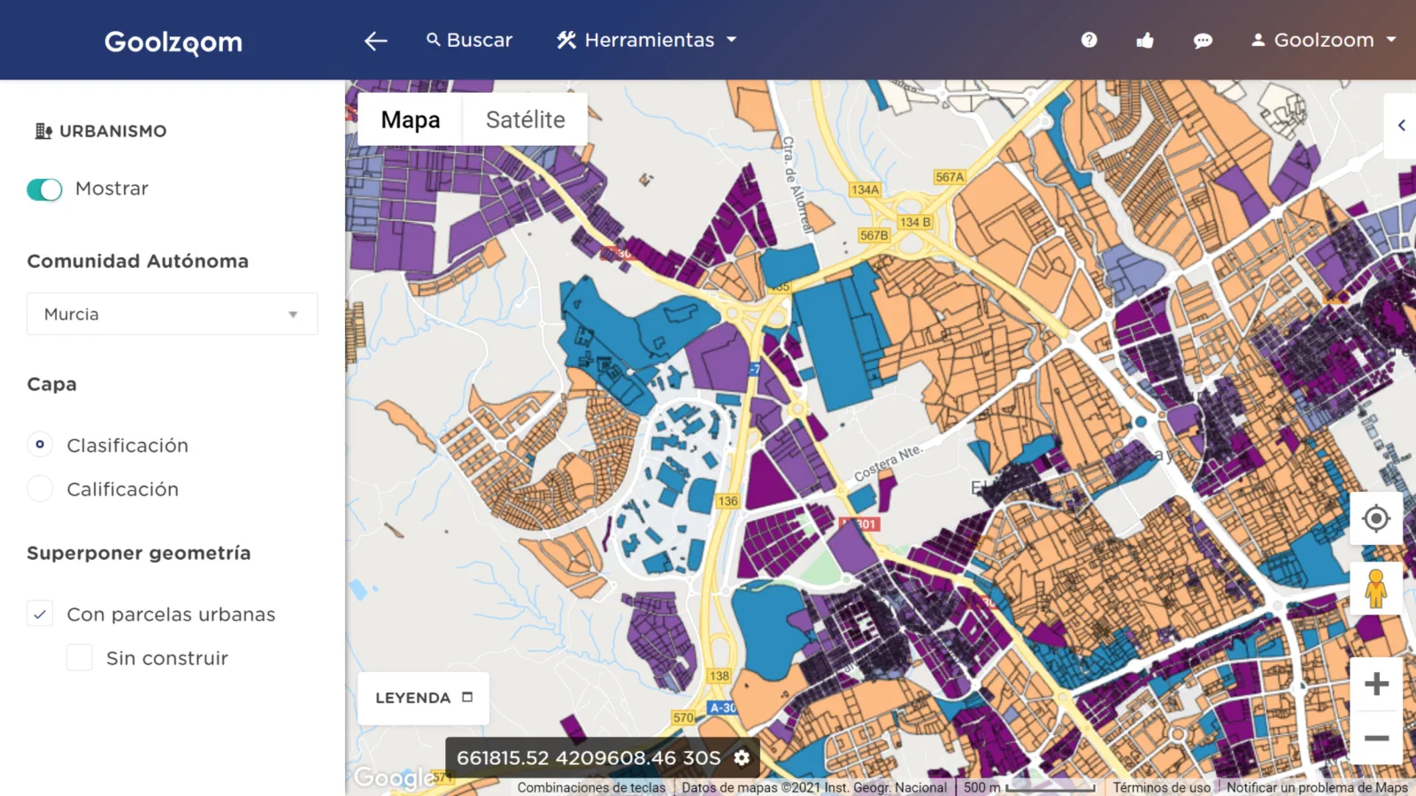
What does the local plan say about this plot?
Search by address or cadastral reference and view planning layers on Google Maps. Switch between land classification and zoning to see the land category and designated uses where data is available.
Explore the example in MurciaYou need a Goolzoom account to use Urban Planning.
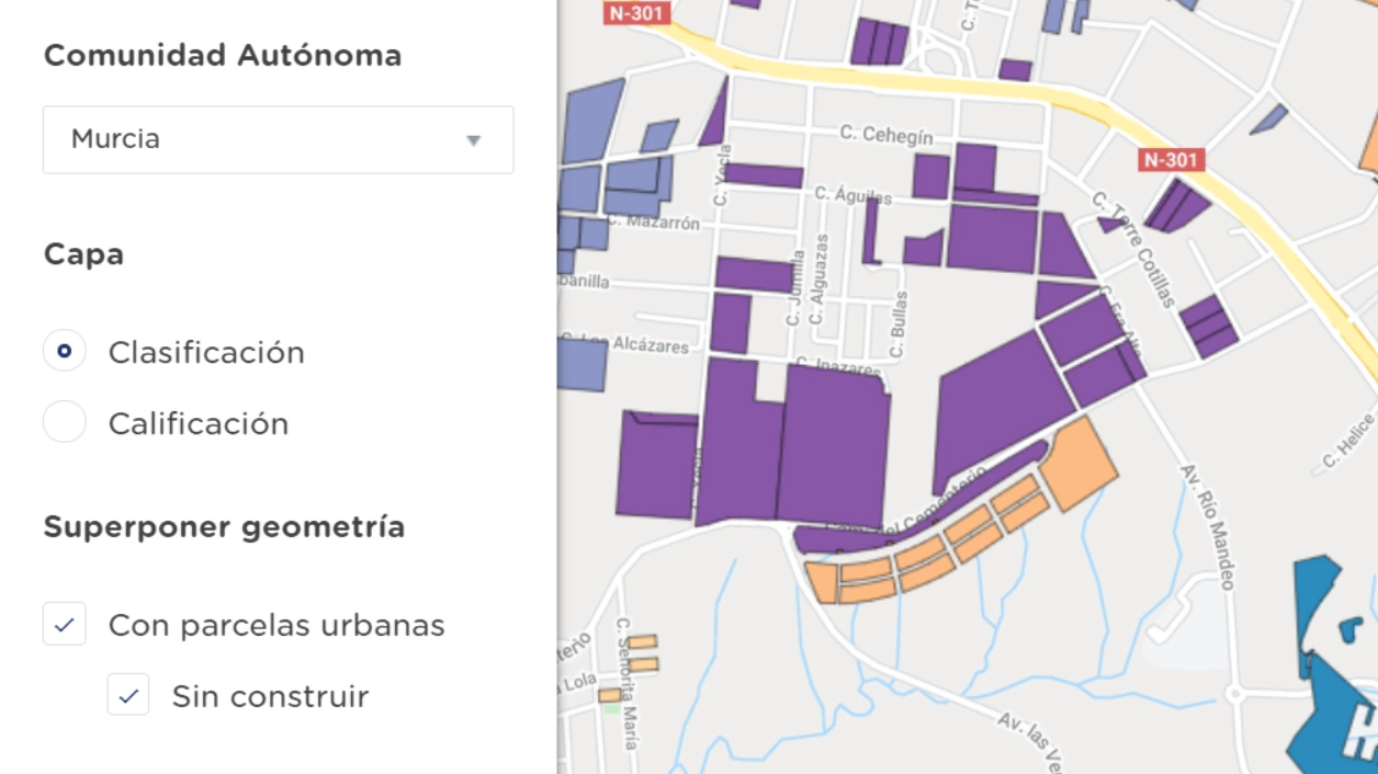
Find undeveloped plots
Overlay cadastral parcels on the planning map. Filter for undeveloped plots or narrow the search by plot size or built area.
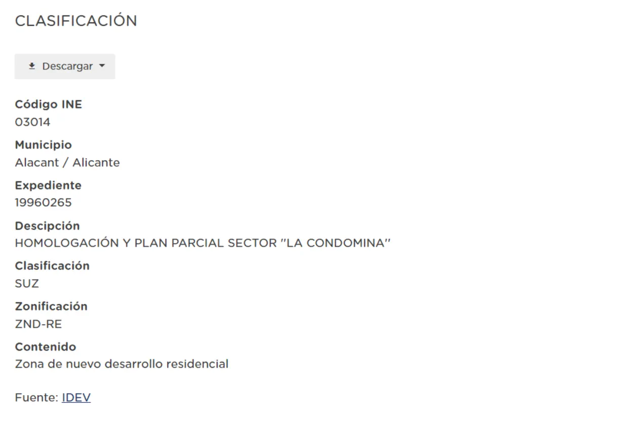
Review the record and use the data in your project
Select an area on the map to open its record. Depending on the layer, you can see its classification, zoning, planning file and data source.
With a plan that includes downloads, export the data as PDF or XLSX, or the geometry as GeoJSON.
Planning coverage and sources
The viewer brings together layers from public sources. Coverage and detail vary by municipality and layer.
SIU, DERA, IDEAragon, SITPA, IDEIB, IDE Canarias, AUCAN, SiuCyL, CLM, GenCat, IDEV, IDEEX, SIOTUGA, IDErioja, IDEM, SitMurcia, GeoEuskadi
View the data sourcesStart with a plot you want to study
Find it on the map, overlay the parcel boundaries and open the planning record for the area.
Open Urban Planning
You need a Goolzoom account to use Urban Planning.