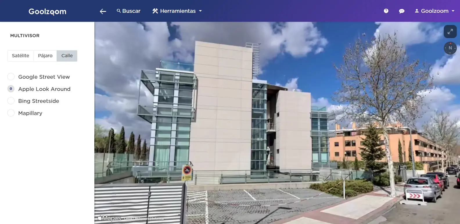
The ultimate 360-degree view of the territory.
Do not settle for a single source. Cross-check official orthophotos with commercial maps and street views to achieve maximum accuracy in your reports.
Your time is valuable; do not waste it switching between tabs.
Compare Google, Bing, Apple Maps, Mapbox, HERE, Mapillary, and PNOA at a glance on a single fully synchronised screen. The efficiency your territorial analysis needs.

Start using it for free
Create your account and access the essential tools with no time limit.
Start
More than 1,500 users registered last week